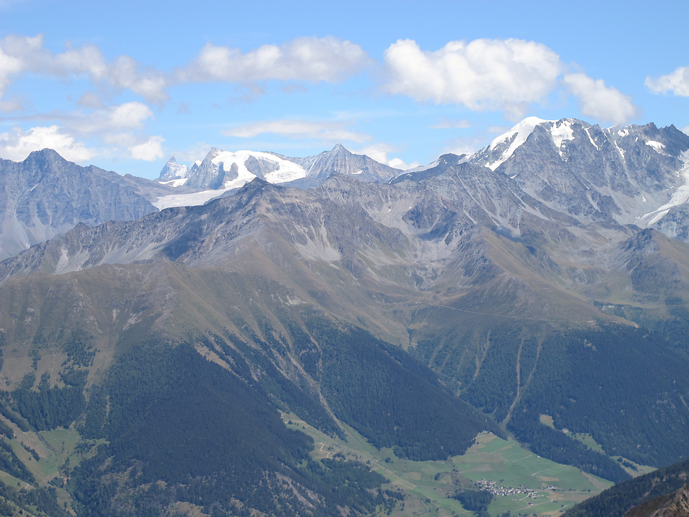
W-Alps / Alps of Valais-Entremont, (Europa , Switzerland)
Region coordinates
| Latitude | 46.01 DD |
| Longitude | 7.23 DD |
Summits
| BOV | 3212 m | nival |
| PAR | 2989 m | subnival (alpine-nival ecotone) |
| BRU | 2550 m | alpine (or lower/upper alpine ecotone) |
| LAL | 2360 m | treeline ecotone |
Short description & land use (current/history)
The target region is used as summer pasture for a long time (probably more than 500 years). Grazing was important in every alpine swards and subalpine pastures up to 1850. It slowly decreased after this, and completely stop on our summits during the 20th century. The two upper summits (Pte du Parc and Pte de Boveire) were probably never grazed, except by chamois or ibex. Now the summits are rarely visited by trampers.
Vegetation boundary lines
Current forest line (closed forest seen from distance): locally between 2020 and 2100 m
Potential natural forestline (based on the position of trees >8 m): 2140-2200 m.
Current treeline (based on the position of trees 3-8 m): 2220-2280 m.
Potential natural treeline (based on the position of tall shrubs 0.5-3 m): 2340-2490 m