Central Alps / Texelgruppe, (Europa , Italy)
Region coordinates
| Latitude | 46.74 DD |
| Longitude | 11.03 DD |
Summits
| KAS | 3287 m | nival |
| DWO | 3074 m | subnival (alpine-nival ecotone) |
| SBG | 2619 m | upper alpine |
| FAG | 2180 m | treeline ecotone |
Short description & land use (current/history)
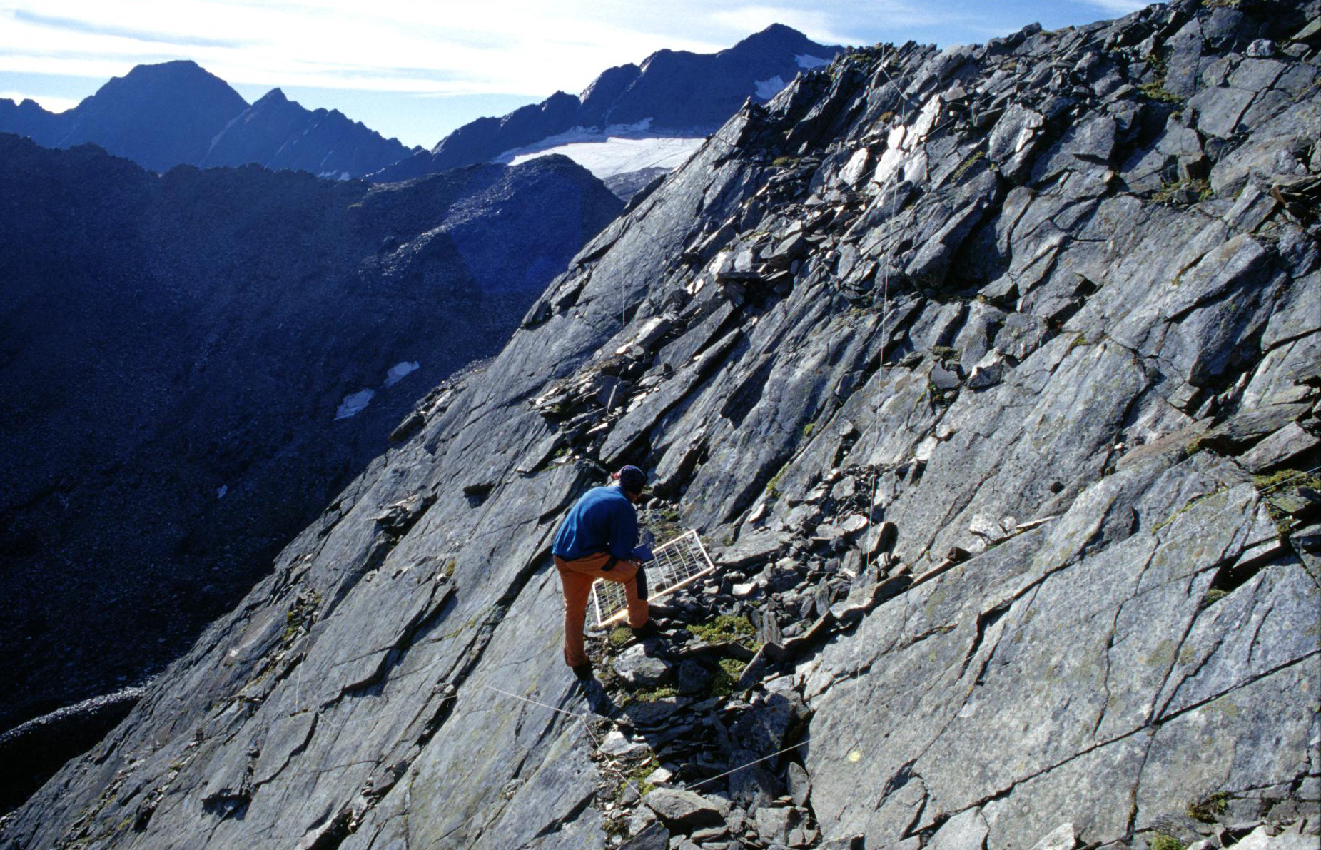
The target region is located in the Nature Park Texelgruppe (Gruppo di Tessa) in the province South Tyrol, Italy. Summit 1 and 2 (FAG, SBG) can be reached through the Kalm Valley (Passeier Valley); summit 3 and 4 (DWO, KAS) through the Schnals Valley. Summit 3 (DWO) lies within the Natura 2000 area Pfossental/Val di Fosse. Land use dates back to the bronze age with sheep grazing above treeline. Below the treeline, cattle grazing was used but since 100 years the amount of livestock species was significantly reduced. Nevertheless, at present, sheep grazing occurs up to the highest summits.
Vegetation boundary lines
The vegetation boundary lines vary according to the degree of continentality. The current treeline at the southern slopes of the Schnals Valley exceeds 2300 m a.s.l., whereas at FAG the actual treeline is at 2150 m a.s.l.